Some people's folks just did not beat enough hell outta them.....maybe why they start these jinx threads 😲....
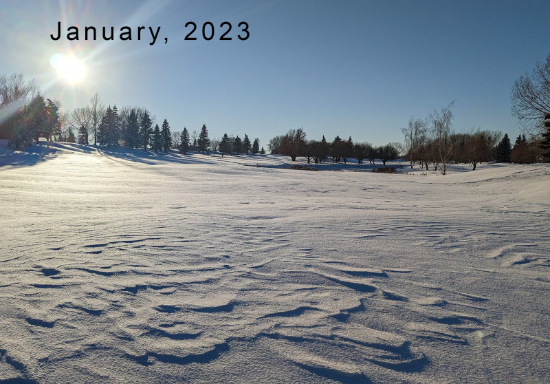
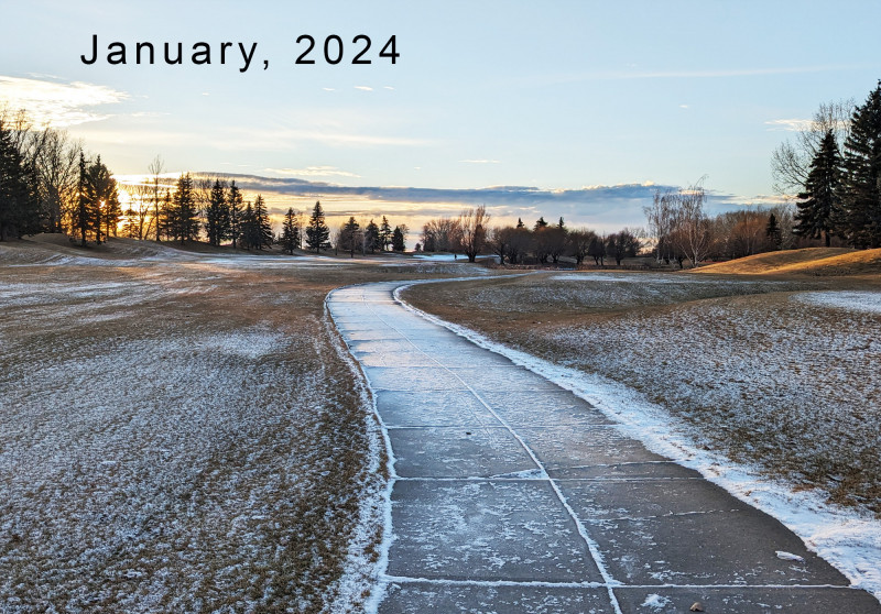
The latest weather info..........
The weekend still shows a weak wave of low pressure to graze the area with not only additional clouds but some light snow showers to flurries is possible mainly on Saturday. Very minor accumulations of under an inch is possible especially for areas more east and south of I-80 corridor.
Monday will remain dry before our well-advertised, tightly wrapped windy storm system tracks near the area. Before dawn, Tuesday a brief mix is possible to kick off its arrival before we see a quick transition to snow showers. That's what we know. What we don't know is the actual track. I cannot stress enough that this is a major key in determining how much snow we could potentially see locally. By the time the system arrives inland on the west coast this weekend is when we could show early snowfall estimates.
Stay tuned!
Latest 'rumor' has it up to 8". Thanks Supp.
For nothing.🤬